Maritime
Beyond standard solutions: flexible navigation data integration from LITEF
Navigation competence for the navy of the future
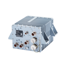
Modern naval operations require more than just accurate positioning – they require data that is reliable and available even under the most challenging conditions. LITEF offers a flexible, highly dynamic navigation data integrator (NDI) that adapts to your specific requirements.
Integration competence for precise navigation solutions
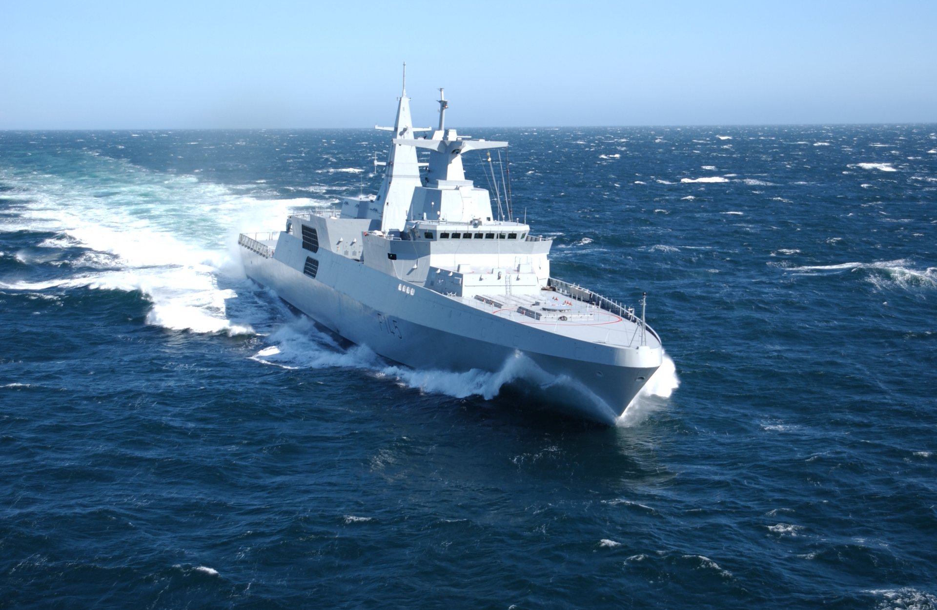
LITEF offers innovative and customised navigation system configurations that are individually tailored to customer and system-specific requirements. LITEF provides a holistic system solution from a single source – always with the goal of creating the greatest possible benefit for the customer.
At its core is the highly dynamic navigation data integrator (NDI), which goes far beyond conventional standard solutions. Development, design, production and sales as well as field services and spare parts supply are carried out exclusively and directly by LITEF in Freiburg. The company is not dependent on any third parties and all products are ITAR-free.
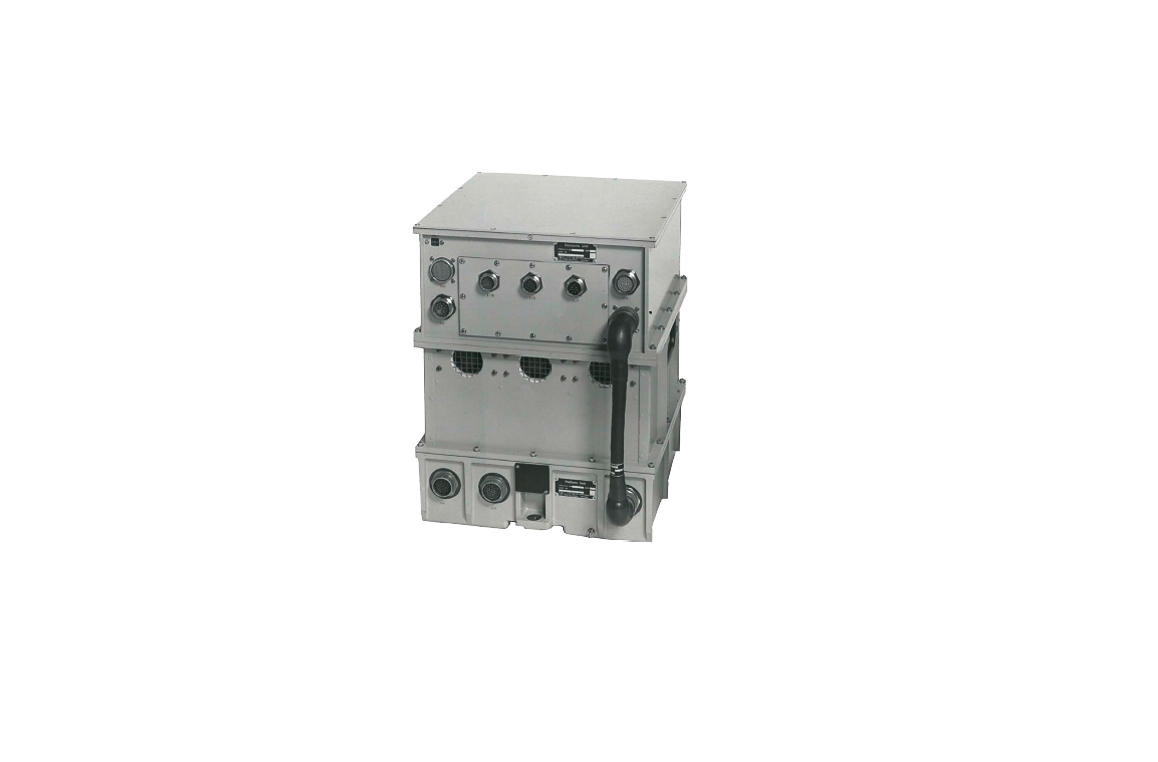
With solutions specifically designed for complex maritime conditions, the NDI enables intelligent data acquisition, plausibility checks and weighting of a wide variety of sensor data – including the seamless fusion of GNSS signals with in-house inertial sensor technology.
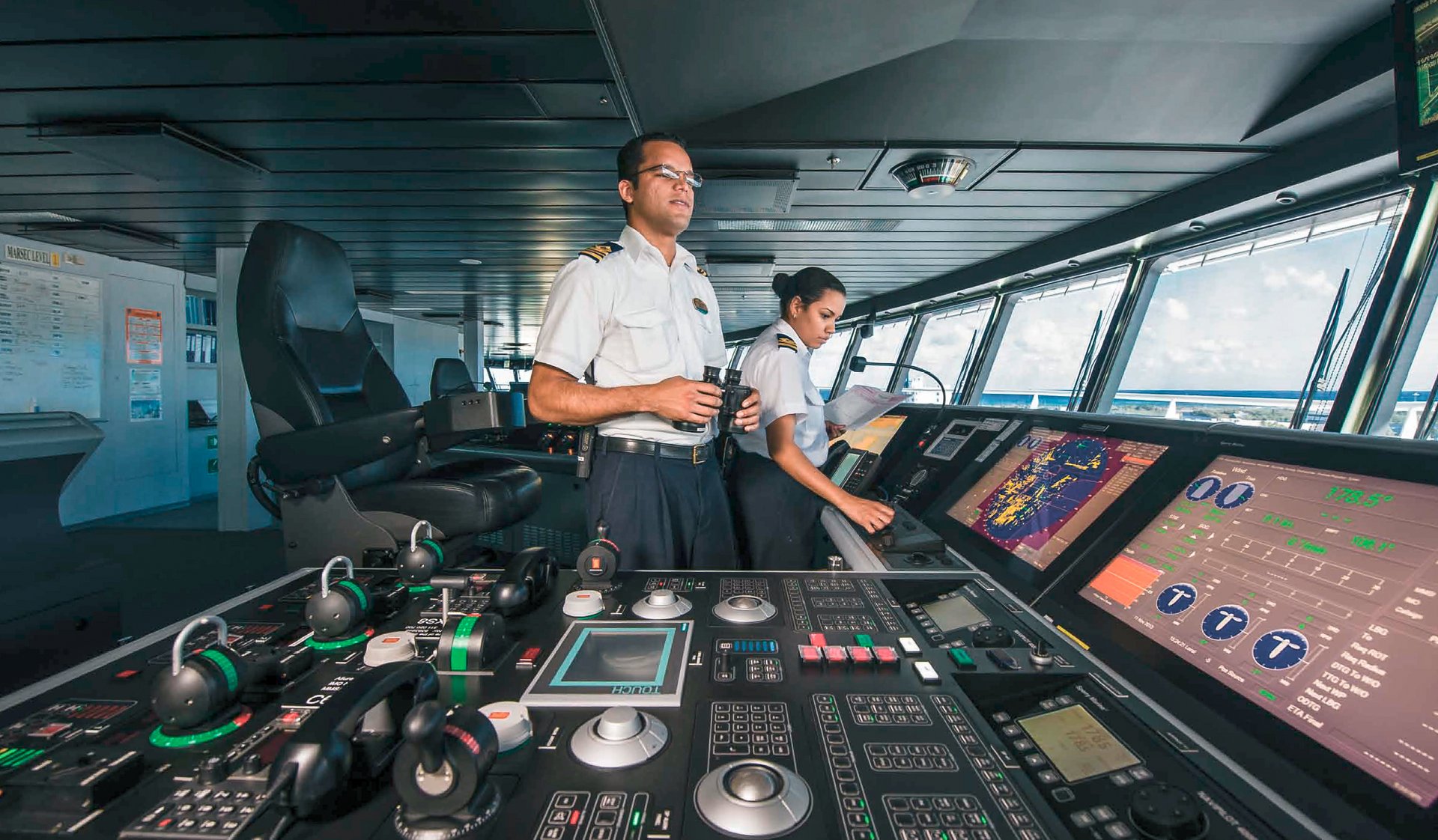
This intelligent data integration results in a precise and reliable navigation that clearly displays the heading, position, speed and other essential information on the LITEF bridge system. Exactly where they are needed for safe and efficient navigation.
Typical applications for LITEF systems in the naval sector
Gyrocompass and navigation system
Attitude & heading reference systems for weapons and antennas
Navigation computer systems and redundant data distribution systems for ship-wide data distribution via digital and analogue interfaces
Retrofitting of surface and underwater vessels
Stabilisation systems for various high-precision and broad-spectrum tasks
Mine-hunting and mine-clearing applications with sensors installed on shock-absorbing mounting plates and special navigation solutions for the automatic tracking of search patterns by means of course and trajectory control systems
Navigation for every mission
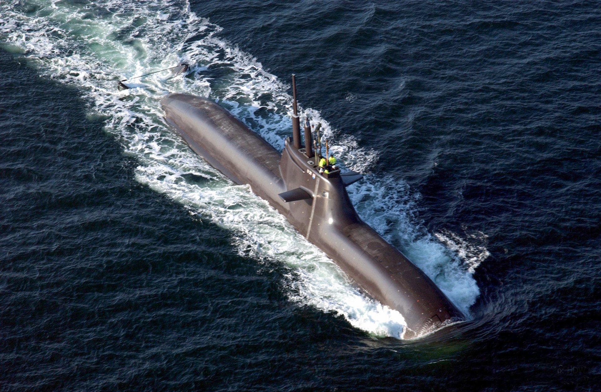
LITEF develops and supplies comprehensive navigation solutions for both surface vessels and submarines. Particular emphasis is placed on the highly dynamic navigation data integrator (NDI) and retrofitting projects for the modernisation of existing fleets. Our proven LFK-150 system complements the maritime product portfolio as an FOG-based gyrocompass. Through our open system architecture, we offer maximum flexibility in the selection and integration of system components – a decisive advantage that makes it possible to realise tailor-made solutions for a wide range of maritime requirements.
Proven reliability on the high seas
For more than 50 years, navies around the world have relied on navigation solutions developed by us that provide accurate navigation data even in heavy swell.
Our maritime systems operate completely independently and do not require external support. For even higher accuracy, they can optionally be coupled to existing ship sensors such as speed log systems (e.g. DoLog, EM-Log), attitude & heading reference systems (e.g. gyro/compass, INS) or position determination systems (GNSS). It does not matter where these sensors are mounted on the ship – our system automatically compensates for the distances to the installation location in all three axes.
The result: reliable navigation that works – whether in calm seas or storms, above or under water.

Comprehensive service support throughout the entire product lifecycle. Our maritime systems are designed for decades of use and offer:
Compatibility with legacy systems such as PL41, LSR-85, LFK-150
Modular architecture for different ship sizes
Worldwide service and support
Lifetime service support for maritime applications
Service & Support Service & SupportOver 60 years of innovation at sea
